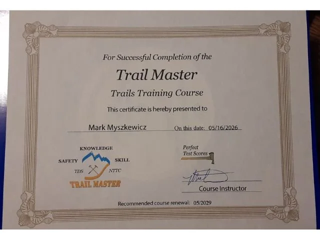
Trail Status
Trail Status & System Information
For up to date trail conditions, please check this site prior to heading out, follow us on our socials, or download TrailBot for trail status and updates. This platform provides updates for other great trails in the area!
The trails are affected by rain, snow, and wind (downed trees). You can also call the State Forest Trail Hotline at 262-594-6202.
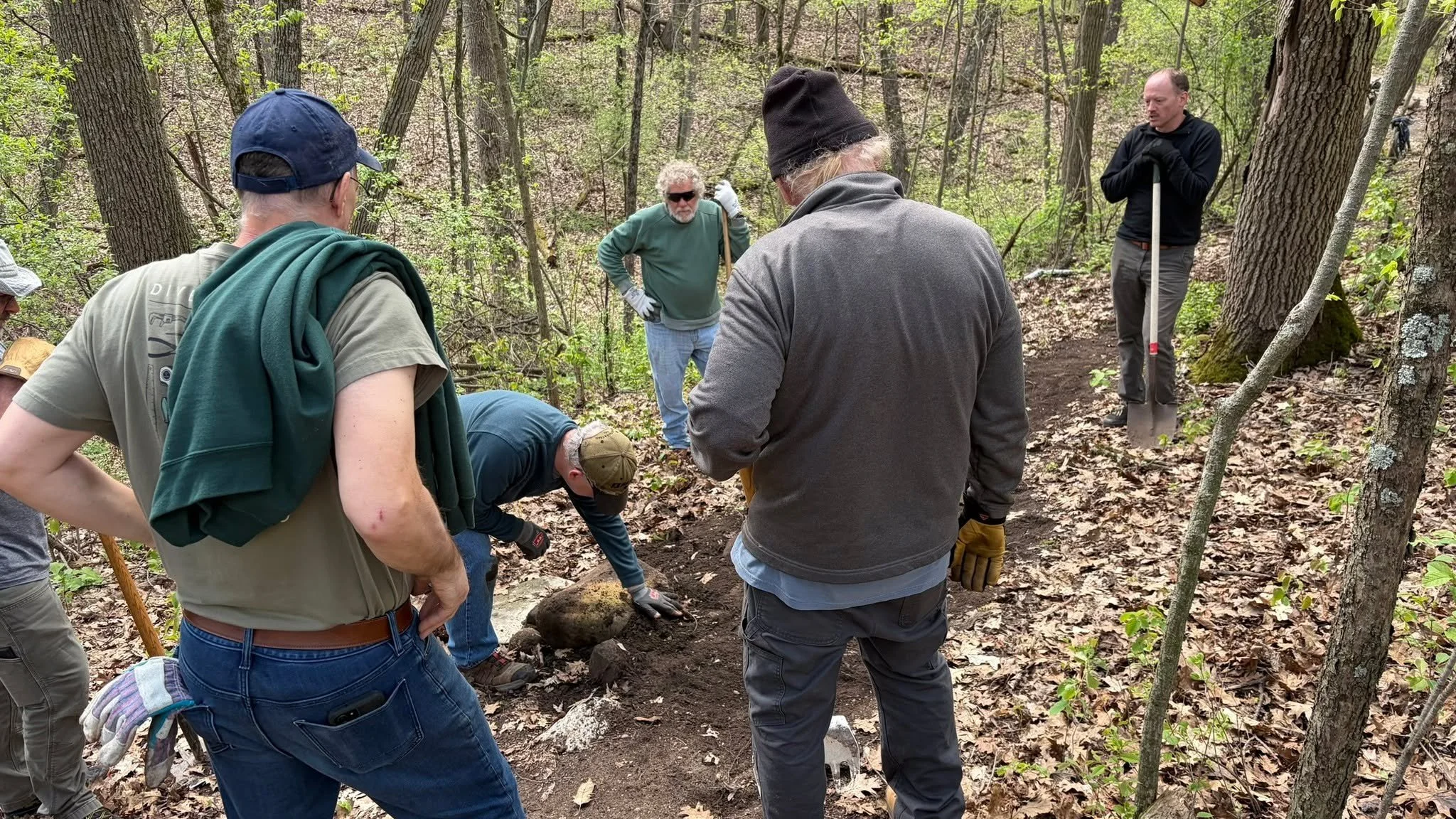
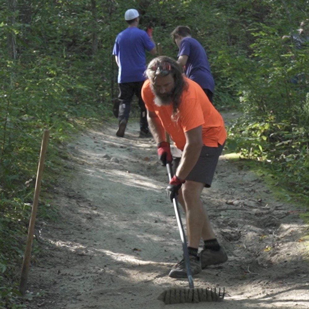
We ask that all trail users respect trail closures, and do not ride while it is actively raining. If you are leaving ruts in the tread you should not be riding. Leave no trace!
John Muir Trails
Five different loops ranging from 1.25 miles to 12 miles totaling nearly 30 miles of trail.
Vehicle sticker and trail pass for biking is required. Parking lot includes water, vault toilets, and a changing room.
On County Highway H north of the Town of La Grange/US Highway 12 and south of the Town of Palmyra.
Brown Loop, easy, 1.25 miles: Mostly flat trail with some small rolling hills, two moderate uphill climbs, one fast downhill and a little rocky ending.
White Loop, moderate, 4.25 miles: Moderate hills, some rocky trail sections, one long downhill, one fast steep downhill and one moderate uphill before reconnecting with the brown loop.
Rainy Dew Bypass (purple), hard, 4.7 miles: Moderate trail with a hard rocky up and down hill before reconnecting with the Blue Loop and Green Loop.
Orange Loop, moderate/hard, 5.0 miles: The first half of the trail is the White Loop. Includes moderate trail with a hard, long up-hill before reconnecting with the Brown Loop.
Green Loop, hard/more difficult, 7.0 miles: Moderate trail with very rocky and sandy trail sections; many hard ups and downs, with many fast sections.
Blue Loop, hard/most difficult, 12.0 miles: Hard trail with very rocky section, many hard up hills and several fast downhills.
Skills Course: A very short course to practice trail skills.
Emma Carlin
Trail system with 3 loops ranging from 3.5-8 miles, for over 20 miles of directional single track trails for mountain biking.
Vehicle sticker and trail pass for biking is required. Parking lot includes water and vault toilets.
County Highway Z just south of State Highway 59.
Brown Loop, moderate, 3.5 miles: Skirt in and out of pines and hardwoods, pass a kettle lowland, then after joining up with the Orange Loop, proceed uphill along a moraine and back downhill to the trail head.
Orange Loop, moderate/hard, 6 miles: Traverse the contours of the glacial geography, generally uphill to the scenic overlook where the Connector trail meets the Carlin trails. Then get ready for lots of ups and downs until meeting back with the Brown Loop.
Green Loop, hard, 8 miles: This trail is continuous with the orange, until it splits off on the southern half of the loop. Here you are in for several difficult ups and downs.
The Connector
John Muir / Emma Carlin Connectors are two separate direction trails, each about 6 miles long.
Access via John Muir or Emma Carlin trailheads. Parking is available at either John Muir or Emma Carlin Trailheads
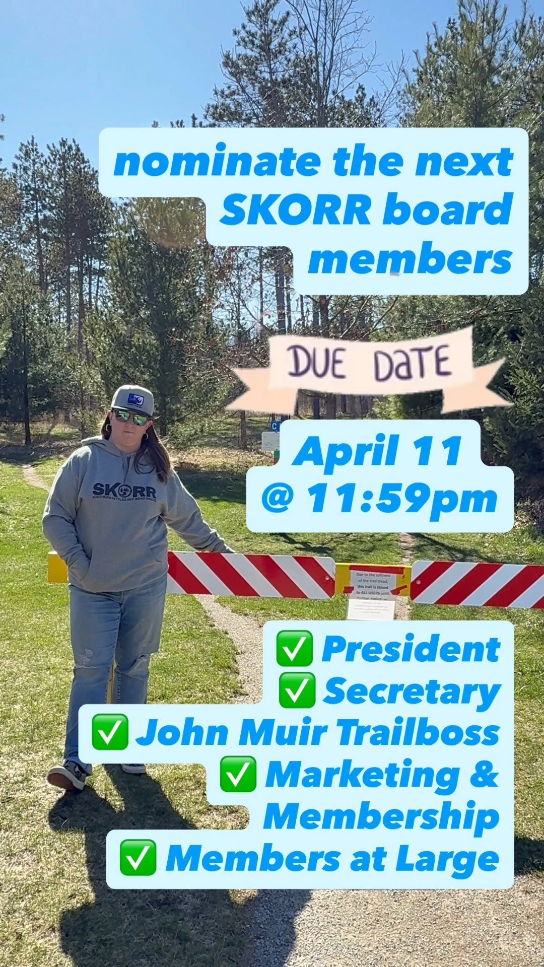
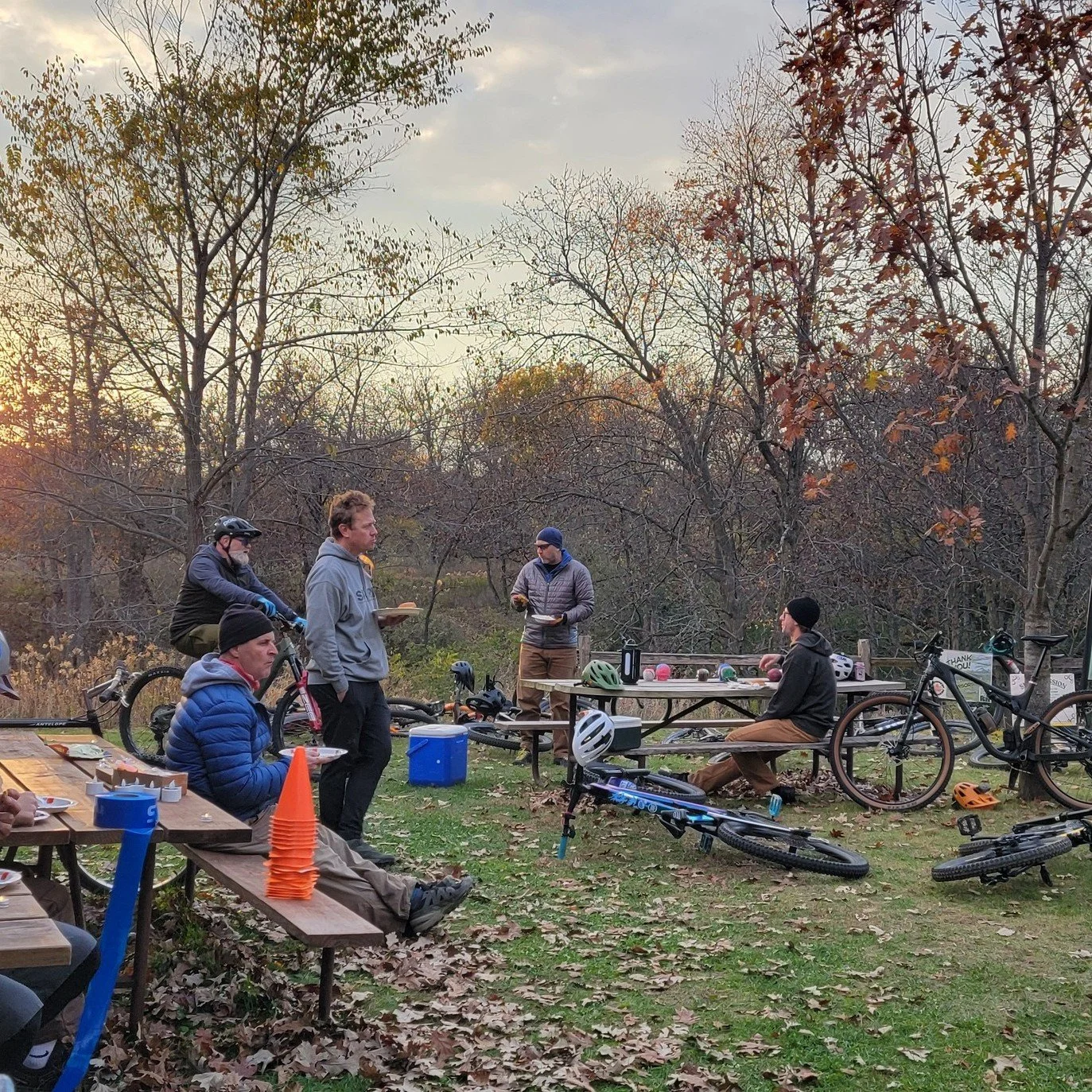
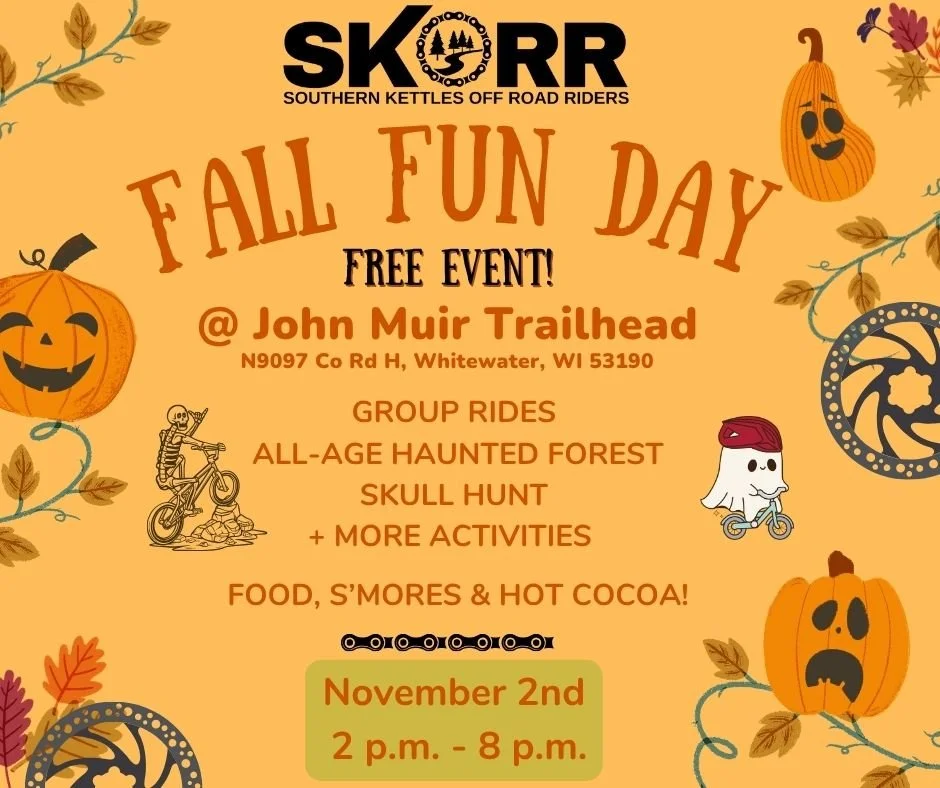
Follow us on Instagram for updates…