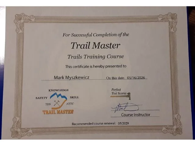
SKORR is dedicated to sustainably maintaining and improving trails for all mountain biking enthusiasts within the Kettle Moraine State Forest. Through cycling we inspire adventure, trail advocacy, and engagement by all to build community.
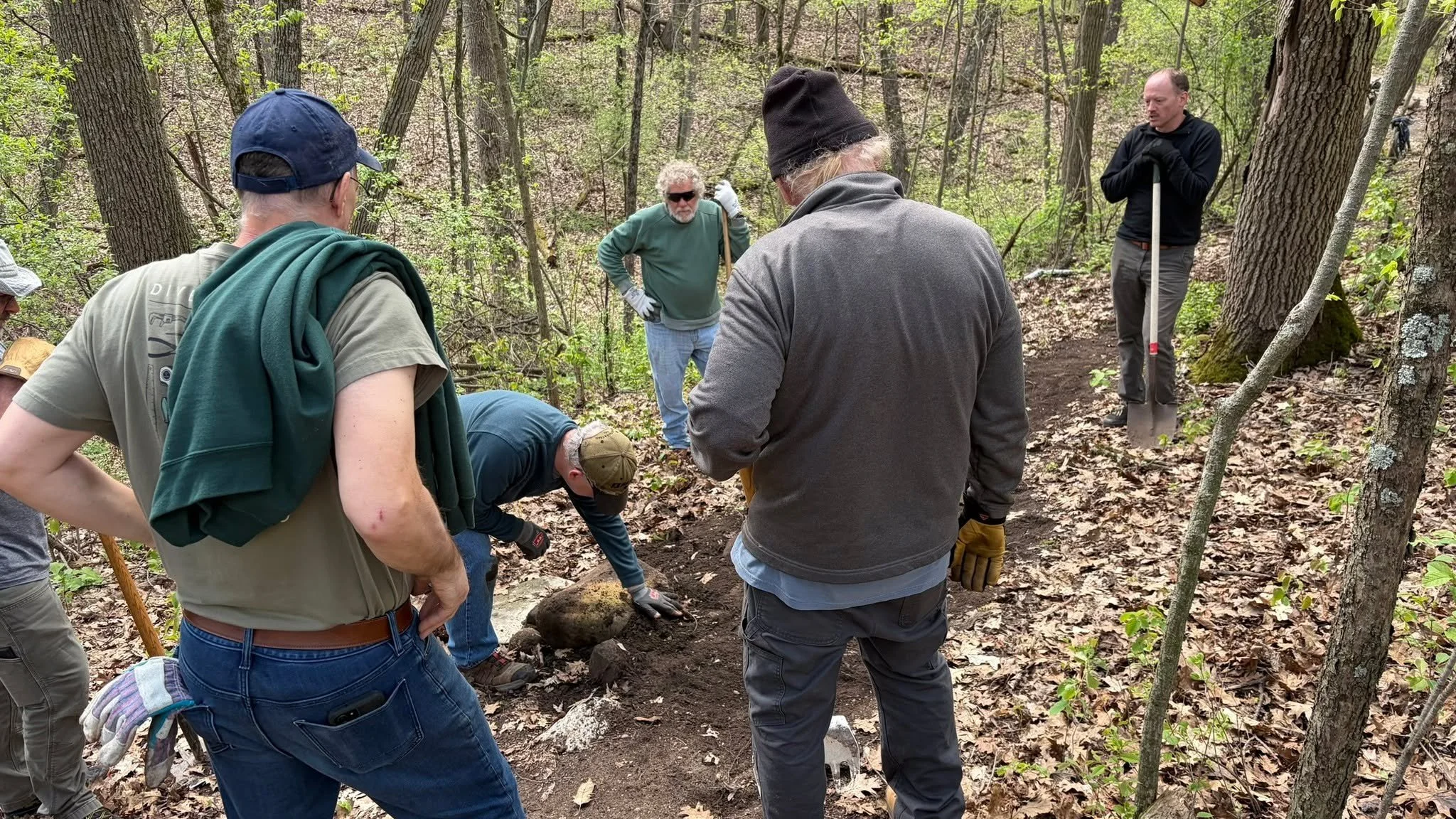
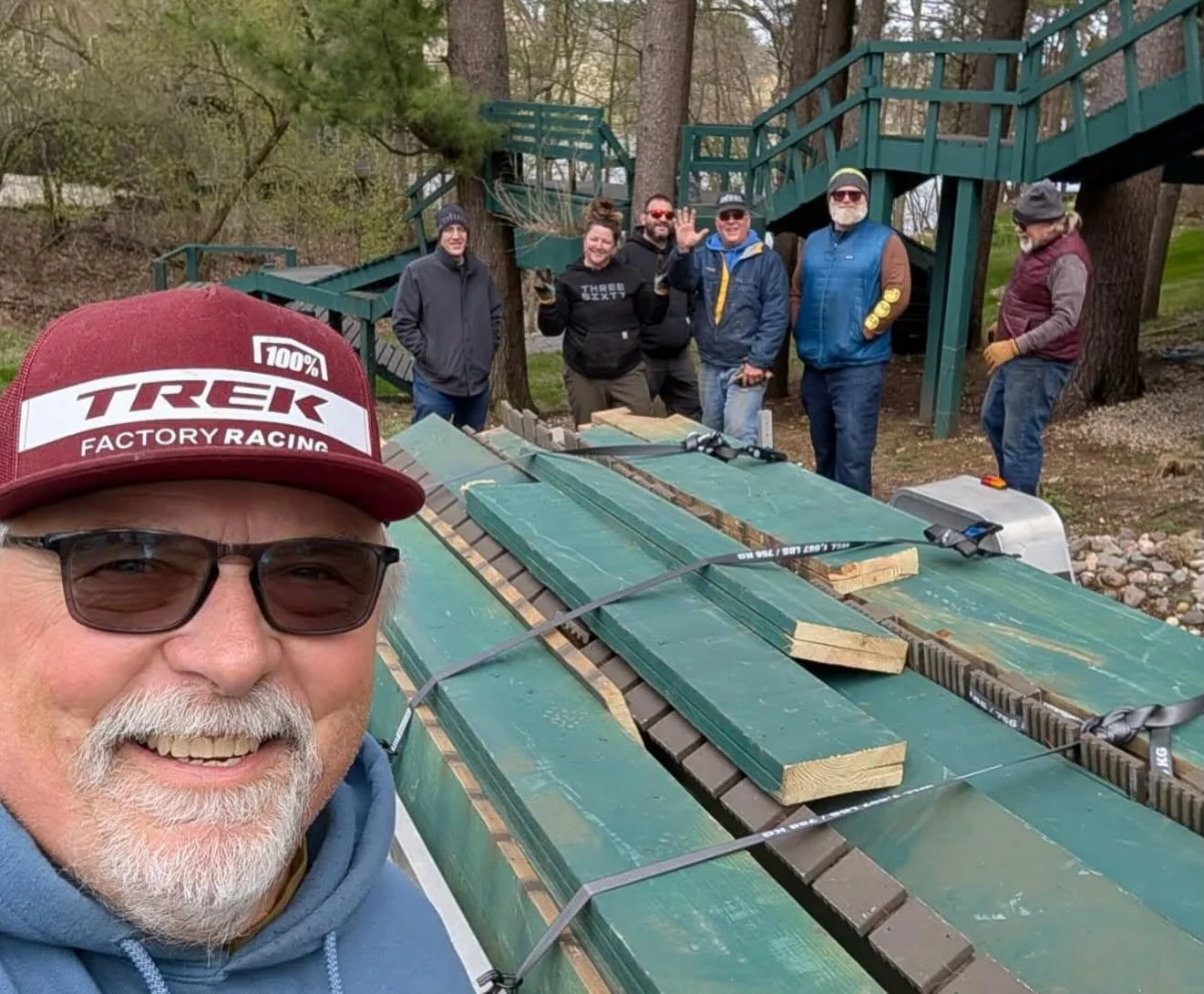
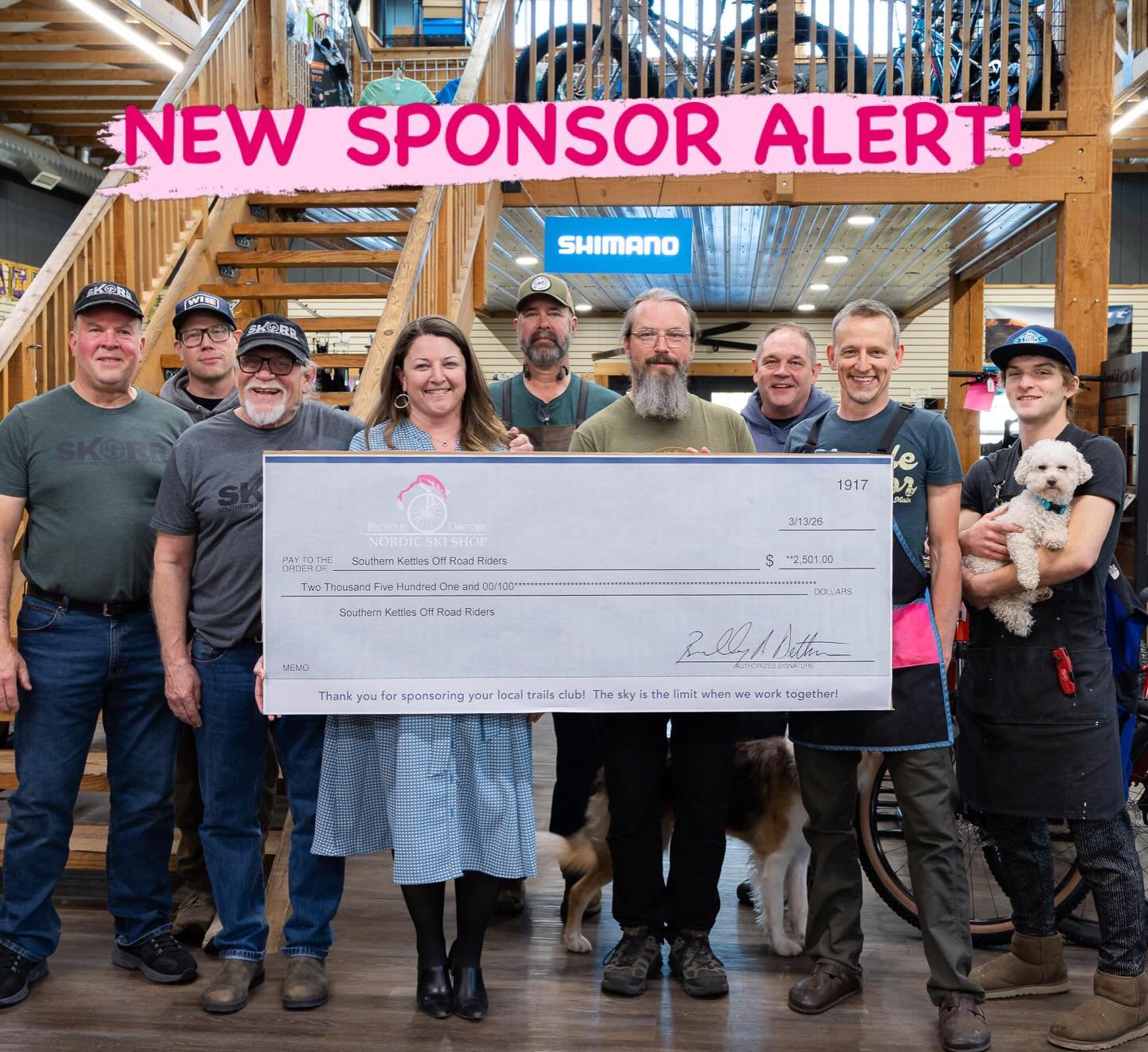
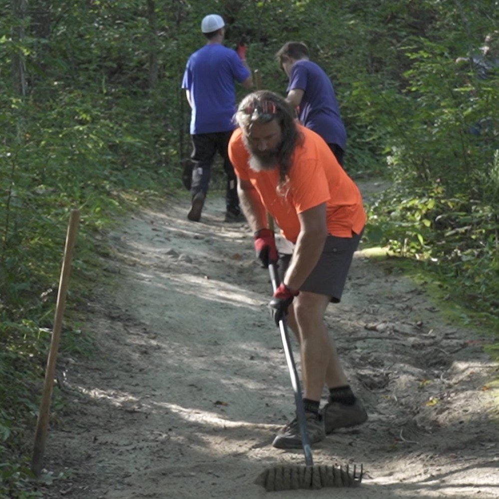
We are passionate about mountain biking and we have some incredible mountain bike trails in the Southern Kettle Moraine State Forest that we’re committed to preserving. We are dedicated to maintaining and improving the 50+ miles of trails and want to surround ourselves with other people dedicated to making the mountain bike community and trails even better than they were yesterday. Come join us for a work day, for a ride in the woods, and become a member today!
Southern Kettle Moraine Mountain Bike Trail Systems
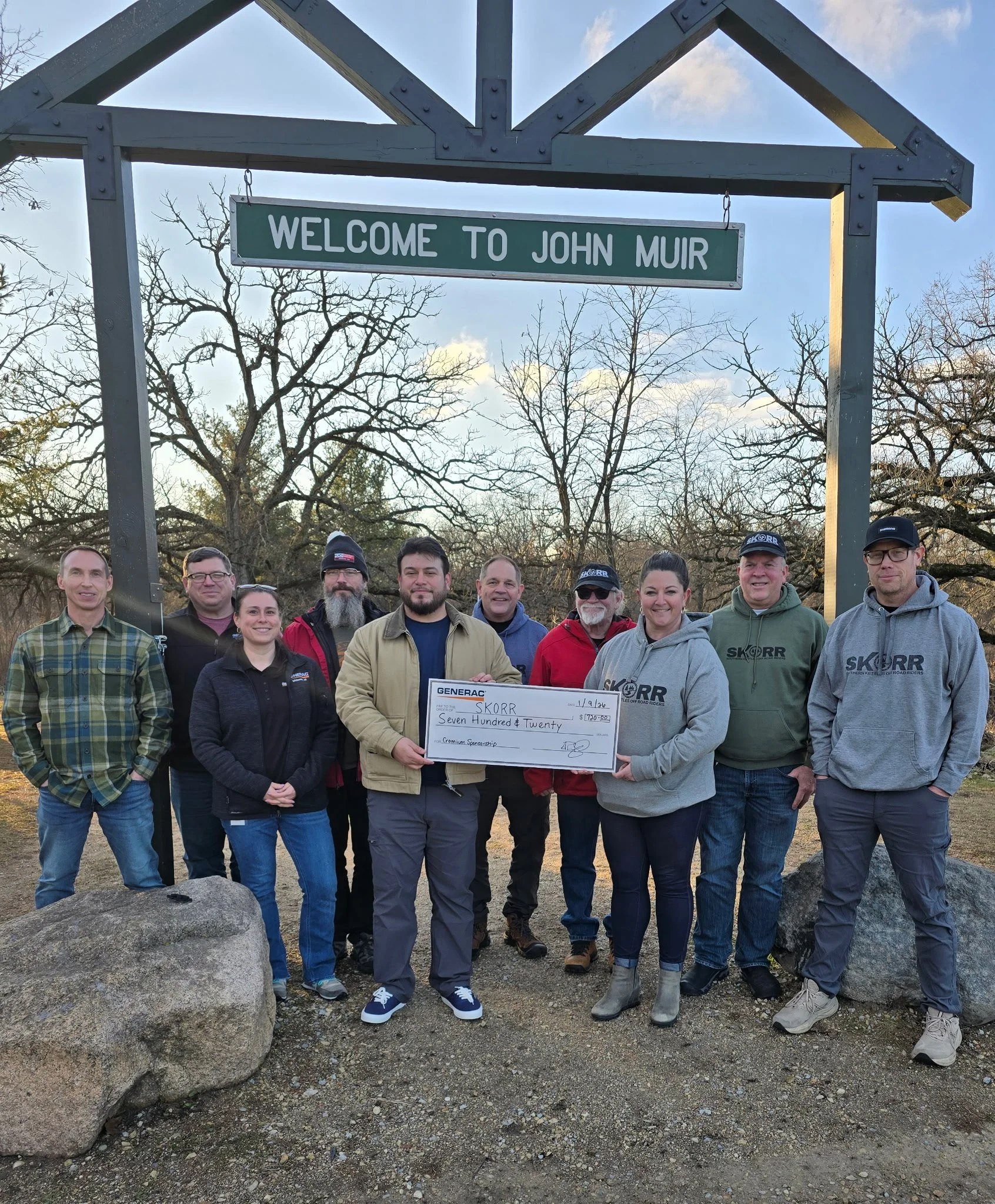
John Muir Trails
This trail system hosts 5 different loops ranging from 1.8 miles to 12 miles totaling more than 30 miles of trail. This trail system offers the broadest variety of options from beginner to advanced.
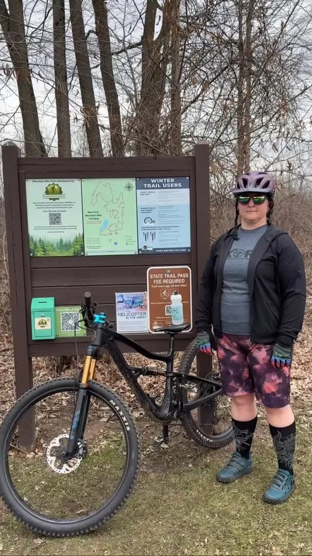
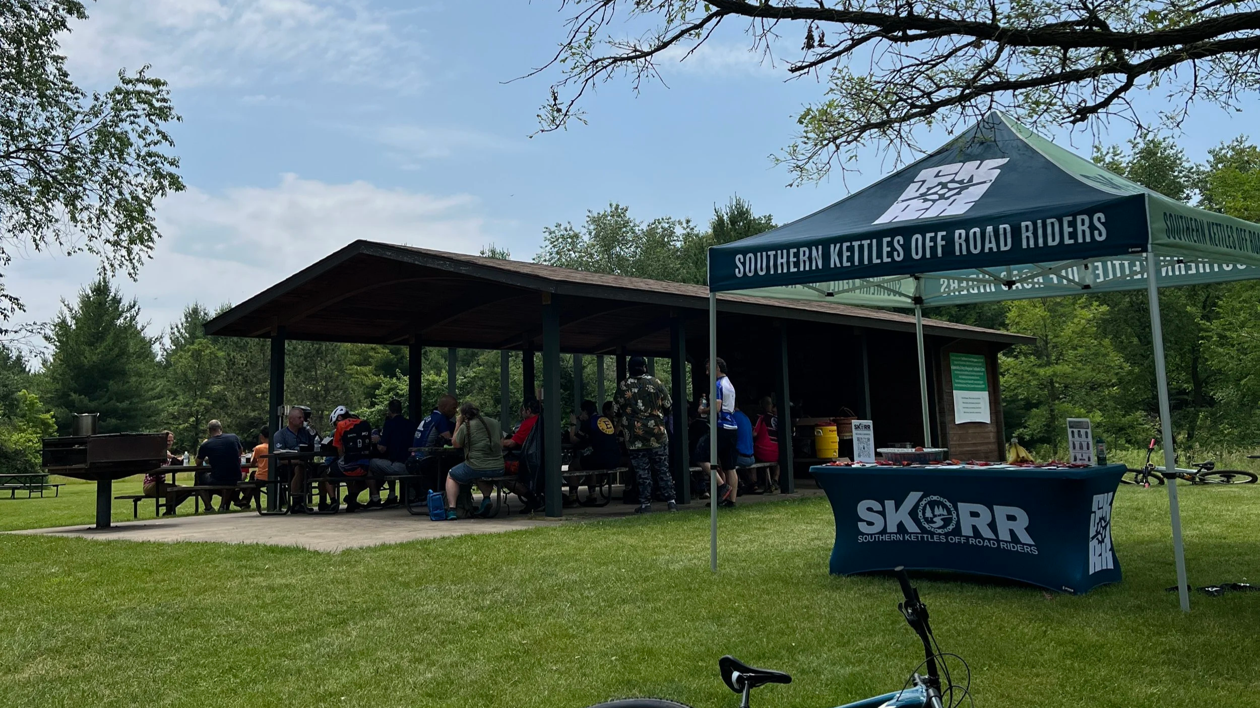
A vehicle sticker and trail pass are required when mountain biking in the state forest. The trailhead hosts vault toilets, changing rooms, a bike repair stand, a bike wash station, a water fountain, a pavilion with a grill and picnic tables, a fire pit, and a Skill Course to improve your technical riding skills.
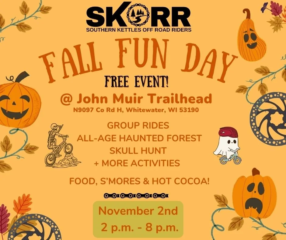
Located on the west side of Cty Hwy H 1.5 miles north of the Town of La Grange or US Hwy 12 and 5.5 miles south of the Town of Palmyra or N9097 Co Rd H, Whitewater, WI 53190
Kids Loop, easy, .6 miles: Mostly flat trail with some small rolling hills and a few technical spots that you can ride around as you gain confidence on a bike.
Brown Loop, easy, 1.8 miles: Mostly flat trail with some small rolling hills, two moderate uphill climbs, one fast downhill and a little rocky ending.
White Loop, moderate, 3.2 miles: Moderate hills, some rocky trail sections, one long downhill, one fast steep downhill and one moderate uphill before reconnecting with the Brown Loop.
Rainy Dew Bypass (Purple), hard, 5.2 miles: Moderate trail with a hard rocky up and down hill before reconnecting with the Orange, Green and Blue Loops.
Orange Loop, moderate/hard, 4.1 miles: The first half of the trail is the White Loop. Includes moderate trail with a hard, long uphill before reconnecting with the Brown Loop.
Green Loop, hard/more difficult, 7.9 miles: Moderate trail with very rocky and sandy trail sections; many hard ups and downs, with many fast sections.
Blue Loop, hard/most difficult, 12.0 miles: Hard trail with very rocky section, many hard uphills and several fast downhills.
Skills Course: A very short course to practice trail skills on man made features.
The JM/EC Connector Trails
There are two Connector Trails. One north bound and one south bound. They are one way trails and are roughly 5 miles long each way.
You can access the Connector via the John Muir or Emma Carlin trails. There are also trail crossings at a few roads between the trail heads. Parking is limited at road crossings. Parking is available at either the John Muir or Emma Carlin Trailheads.
Emma Carlin Trails
This trail system has 3 loops ranging from 3.5-8 miles, for over 20 miles of directional single track trails for mountain biking. This trail system is the most technical system in the network.
A vehicle sticker and trail pass are required when mountain biking in the state forest. The trailhead hosts vault toilets, a bike wash station, and a water fountain along with picnic tables.
Located on the west side of Cty Hwy Z just south of State Highway 59.
Brown Loop, moderate, 2.7 miles: Skirt in and out of pines and hardwoods, pass a kettle lowland, then after joining up with the Orange Loop, proceed uphill along a moraine and back downhill to the trail head.
Orange Loop, moderate/hard, 4.8 miles: Traverse the contours of the glacial geography, generally uphill to the scenic overlook where the Connector trail meets the Emma Carlin trails. Then get ready for lots of ups and downs until meeting back with the Brown Loop to head back to the lot..
Green Loop, hard, 6.7 miles: This trail is continuous with the orange, until it splits off on the southern half of the loop. Here you are in for several difficult ups and downs before you join back up with the Orange and Brown to head back to the parking lot.
Follow us on Instagram and Facebook for updates…